I have worked primarily with satellite data this semester, using Landsat reflective bands to create true color images, calculate NDVI, and experimented with NDESI (Normalized Difference Enhanced Sand Index) as I trace the histories of sand in Gaza (see my narrative atlas). This type of analysis and data allow me to trace patterns of land cover in Gaza. I have also used maps created by B’tselem, Forensic Architecture, the British Mandate Palestine Survey as data, georeferencing them and tracing elements such as topographical lines, agricultural boundaries, sand dune boundaries, annotated heights of the dunes, Israeli settlement boundaries, and military raid routes. This collection of data has allowed me to trace these processes over time, identifying patterns and systemic relationships as I narrate in the sand atlas and video. I’ve also been drawing on scientific geological and soil sample papers to gather data of levels of toxins (phosphorous, radon) and the geologic history of soil in Gaza. These papers allow me to situate Gaza as a site on/in earth, imbedded in prehistoric time scales, and to identify concentrations of toxicity on a micro level. Moving forward, I hope to use more advanced remote sensing techniques to track soil moisture/ content.
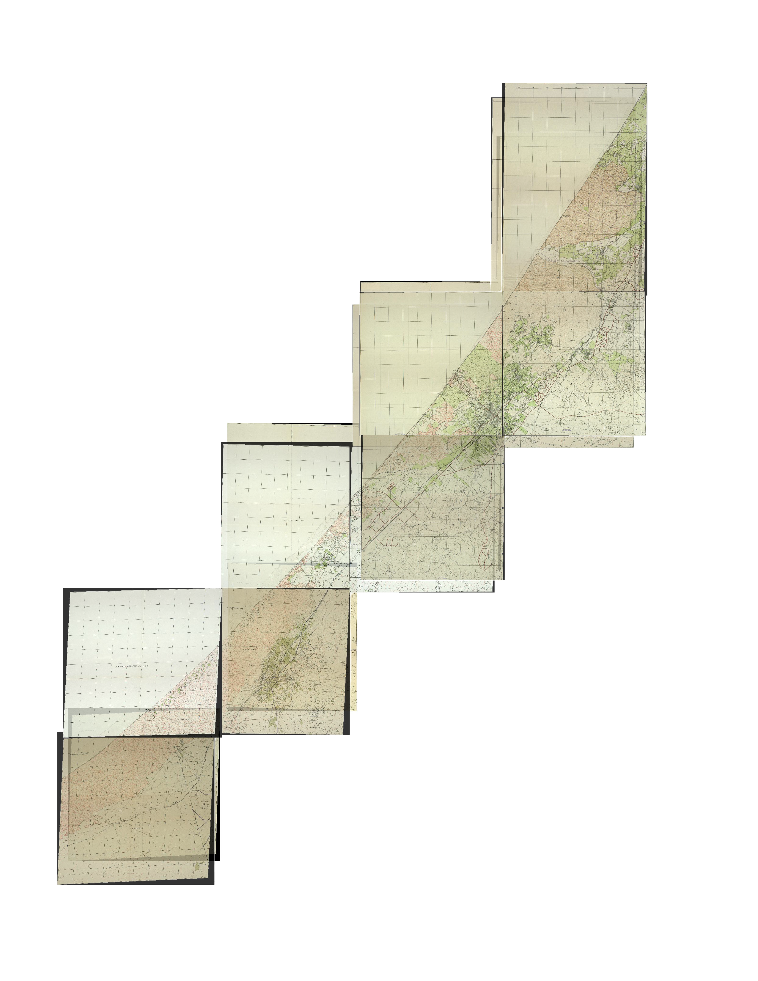
One of the main things I have come up against this semester is the use of colonial maps, texts, and data in my project. As Laura says, there is already an act of subversion in that I am using the information in these maps for an anticolonial purpose and research. At the same time, I want to be intentional with citing and how I’m visually representing these maps as I continue this project next semester. Some methods I’ve begun to experiment with include discoloring the maps, framing them visually (such as in the Google Sheets project), extracting their data but not showing them, fully situating the context they were created in, including the creation of the Palestinian Grid Cassini Soldner projection. I also researched Palestinian resistance to the British systems and mapping efforts—who at times chased away surveyors or destroyed their equipment. I hope that moving forward I can continue to represent these maps as active and contested processes, not fixed records.